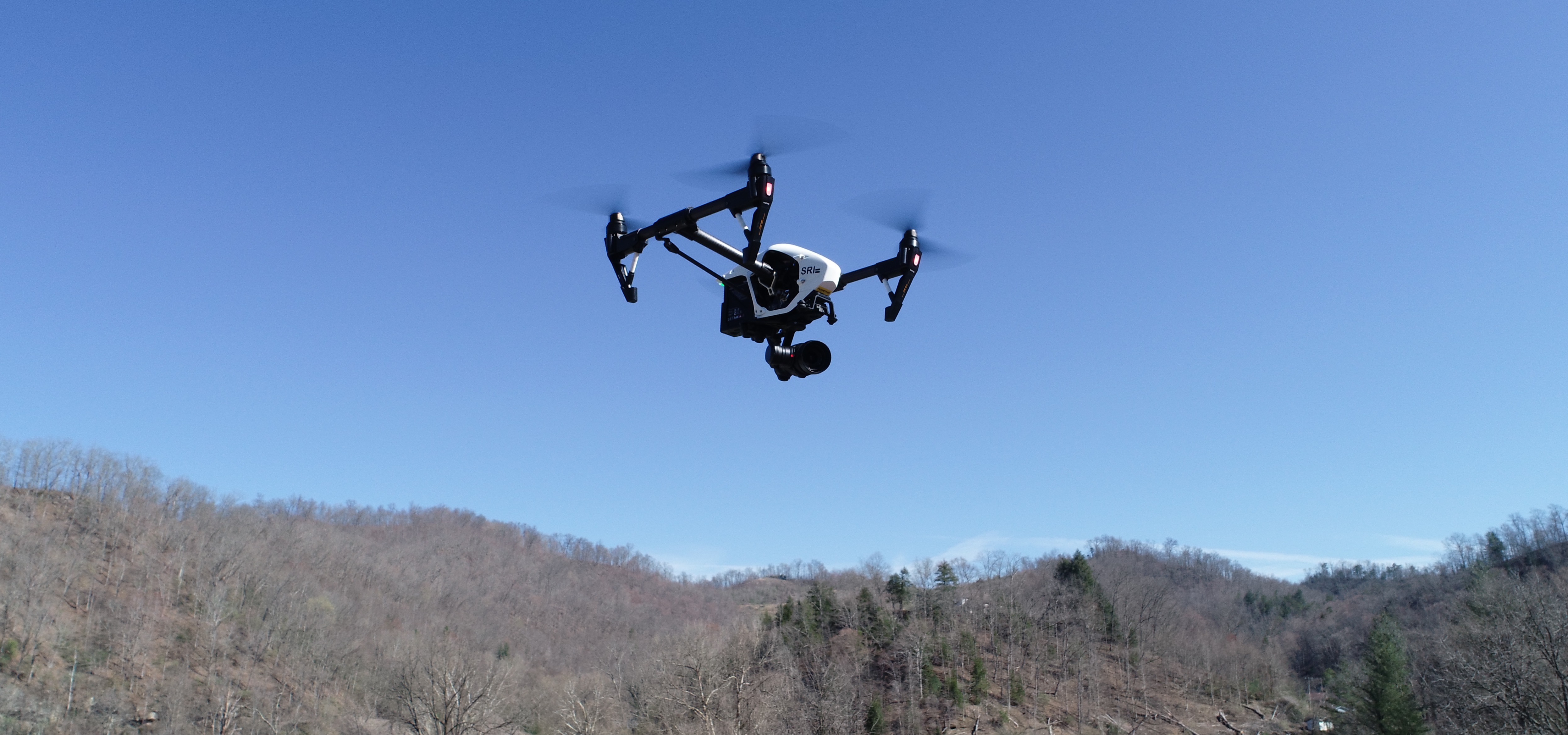
SRI strives to be on the cutting edge of technology and training and has maintained a fleet of drones since 2012. Drones are now an essential part of any investigation or reconstruction. Our licensed pilots utilize drone technology on a daily basis to document evidence and assist in crime scene and traffic accident reconstruction. Becoming a licensed drone pilot is not only a requirement for any person or company providing a service using a drone, but it also provides the needed flight knowledge and safety for the particular job.  You should always ask to see a drone pilot’s license or certification prior to hiring them for service. Our pilots have also undergone extensive search and rescue training in order to be able to volunteer their services to First Responders in need of the drone technology.

Drone technology allows us to provide our clients with the most accurate reconstruction and 3D mapping from any view. However, aside from those benefits, there are many other reasons to hire a drone services provider. Drones collect valuable media and data for architecture, mapping services for construction, golf course overviews, inspections, insurance, marketing video production, real estate and surveying. 

SRI now provides this service for a variety of clients by offering professional level aerial photographic images and video. This technology offers a bird’s eye view of just about anything you need to see from above! 

Every case is individual and confidential. We offer a FREE analysis and customize your services. Please fill out the form or call us at 855-862-6043. We are here to help.  

We Utilize Drone Technology to Create Detailed 3-D Models

SRI Drone Services Can Help You With:

3D Imaging

3D imaging has drastically improved over the last 30 years! The process of creating scaled diagrams went from using a tape measure, pencil and paper to SRI’s ability to now use drones to create the same scaled 3D models. This technology allows us to virtually capture every aspect of a scene. The following example is a 3D model of Hyden, Kentucky that was recently created: https://skfb.ly/6SnZC

Investigation

No matter the type of investigation being conducted, there is simply no better way to document the evidence of what occurred in a precise, accurate, scaled map or model than using drone technology. Drones can capture evidence faster and from a better perspective than virtually any other method available. The following is a scene of a gas explosion using drone technology that SRI completed: https://skfb.ly/6SnTL

Aerial Photography

SRI has a drone in our fleet that is specifically designed for high resolution photography and video. This drone and camera system is routinely used in Hollywood film productions, making it the best quality possible. If you have an event or any type of documentation that requires crystal clear video and/or photographs, SRI can assist in providing the service with optimal results.

Construction

We have the ability to utilize our fleet of drones to map future or current construction sites by providing detailed measurements of a property, elevations, road systems, quarries, and more. We can also provide an overview of the surrounding area to gain a full scope of the project. The precision of these maps and/or models can be measured in just a few millimeters (typically 1 to 5 millimeters). Construction site models can be easily dropped directly into Google Earth allowing the user to see what’s nearby.

Inspections

The inspection process can be risky, depending on the individual situation. For example, accessing damage from storms, setting up ladders on damaged roofs/structures and tracking downed or damaged power lines through the mountains puts those involved at risk. SRI’s drone fleet can eliminate the risk factor and provide you with the footage needed, without anyone being put in potentially dangerous situations. Our drones are equipped to inspect views from above with the help of our drone pilots.

 We can complete detailed inspections of:

  • Construction Projects
  • Roof Assessments
  • Bridges: 360 degree view (top, bottom and side views)
  • Real Estate: photography, modeling and video
  • Radio and Cell Phone Towers
  • Power Lines
  • Farmland
  • Drainage
  • Large Buildings


*All models that SRI creates using this technology can be dropped directly into Google Earth so the user can identify the exact location of the issue with a clear view of the problem site. 

Real Estate

SRI’s drones and 3D modeling capabilities can bring your real estate properties into an entirely new perspective. This technology provides a 3D model of the property that can be rotated and zoomed in to give prospective buyers an new vision of their potential new home. Not only can they explore the property in depth, but they can also view the property’s surroundings like parks, schools and restaurants. The technology easily allows for the 3D footage to be inputted directly into Google Earth with a custom property link. See the example here: https://skfb.ly/676HP

Agricultural

I am text block. Click edit button to change this text. Lorem ipsum dolor sit amet, consectetur adipiscing elit. Ut elit tellus, luctus nec ullamcorper mattis, pulvinar dapibus leo.

Insurance

Drone technology is beneficial to insurance companies and adjusters as well. When a quick, efficient response is needed, drones can provide high quality aerial footage and photographs that can assist in accurately appraising damage. 

Vivid Aerial is the exclusive dealer and service center for SRI and all of its air drone fleet

Vivid Aerial Flight School


SRI discussing drone utilization on the Midday Kentucky Show: